What’s old is new again.
Today, I am sharing an idea for the reformation of our provincial boundaries …
Territory of the three prairie provinces (Alberta, Saskatchewan, and Manitoba) ought to be consolidated into one named ‘Assiniboia’.
In this scenario, the machinery of government is simplified and centralized across the Canadian prairie, thereby eliminating inefficiencies currently found in inter-provincial relations.
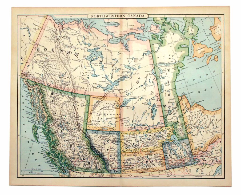
Under this arrangement, Winnipeg, Saskatoon, Regina, Prince Albert, Edmonton, and Calgary would all be within a common province, as well as Banff National Park.
Provincial borders will no longer be defined artificially, but by the natural lay of the land. The western border of the province is defined by the Rocky Mountains (Mt. Assiniboine), while the eastern, by Lake Winnipeg and Lake Of The Woods. To the north, the provincial limits are defined by the North Saskatchewan River, while to the south, the 49th parallel is the temporal limit. The geographical center of the province is the Assiniboine River which meanders through Manitoba and Saskatchewan.
The provincial capital is the University of Saskatchewan campus.
In 1916, Sir Frederick Haultain was knighted, and for 22 years after 1917, he served as Chancellor of the University of Saskatchewan.
“It was he [Sir Frederick Haultain] who drew the best plans for the new provinces of Saskatchewan and Alberta and it was he more than any other who ensured that the provincial universities in the prairie country would be founded with independence from politics and freedom from the controversies that embarrassed many of the educational institutions in Eastern Canada. In creating the new provinces in 1905, the federal government didn’t follow the Haultain blueprint closely and history is likely to see that as the senior government’s mistake.”
– Fifty Mighty Men by Grant MacEwan, page 197
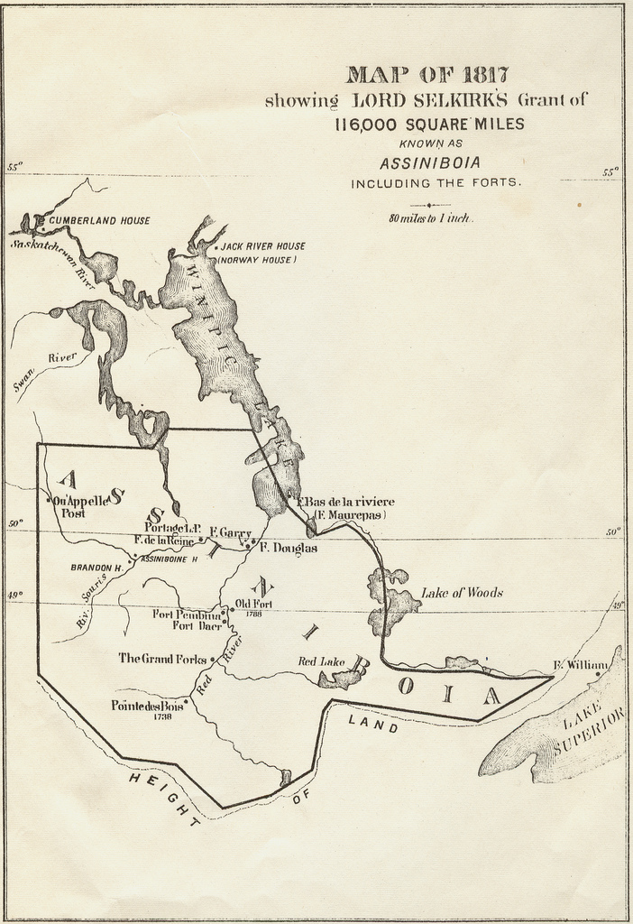
Map of 1817 showing Lord Selkirk’s Grant of 116,000 square miles known as Assiniboia, including the forts. (Source: Royal Society of Canada)
For the preservation of peace and the proper ordering of the Dominion, it is hereby declared that the province formerly known as Assiniboia shall be reconstituted in the spirit of Roman Catholicism and whose citizenship be limited to persons designated as Indians in accordance with the Indian Act.
Travis Mitchell Patron
Independent Candidate for Parliament, 45th Federal Election (March 23rd – April 28th, 2025)
www.travispatron.ca
Canadian Nationalist Party
Since 1933
www.nationalist.ca
One reply on “Province Of Assiniboia”
that looks like a great idea only id like to add using our resources internally and growing our own industries and providing all our needs for ourselfs as we wouldnt have that many ports which would be unfortunate but might strike up a community of innovators all engineering solutions to the problems that being land locked would impose apon us how about deribles with massive capacity for shipping and networks of locations aroud the world to ship our goods and resouces to.